
3D Land Surveying-Lenoir City, Tennessee

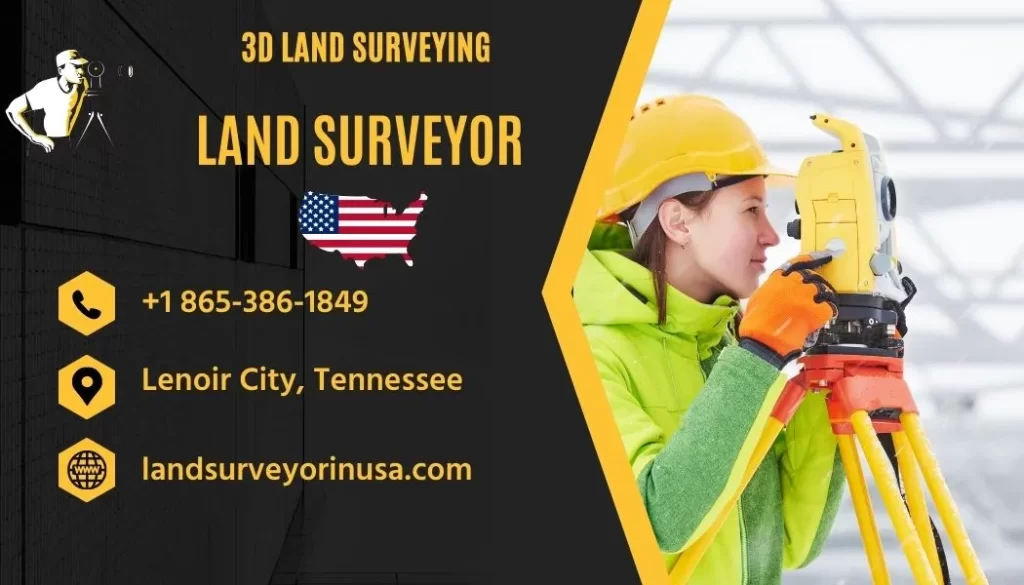
3D Land Surveying offers unparalleled expertise in the field of land surveying within Lenoir City, Tennessee. As a premier Land Surveyor in Loudon, Tennessee, the company provides precise land measurement services. Their dedicated team employs cutting-edge technology to ensure accurate and reliable results. Clients seeking dependable land surveying solutions for residential or commercial projects will find their needs expertly met at 3D Land Surveying. Recognized for their professionalism and commitment to excellence, they stand as a distinguished land surveyor service in the region.
Contact Information of 3D Land Surveying
For comprehensive assistance, 3D Land Surveying can be reached through their phone support or website. Clients may view their location on maps, read reviews to gauge service quality, or visit their premises based on the provided address.
3D Land Surveying
Land Surveyor in Loudon, Tennessee, UNITED STATES
- 📍 Address: 1780 Thomas Woods Way, Lenoir City, TN 37772, United States
- 🕗 Hours: Tuesday, 9 AM to 5 PM; Wednesday, 9 AM to 5 PM; Thursday, 9 AM to 5 PM; Friday, 9 AM to 5 PM; Saturday, Closed; Sunday, Closed; Monday, 9 AM to 5 PM
The Expertise of 3D Land Surveying Services
In the midst of the scenic landscapes of Lenoir City, Tennessee, a professional team known as 3D Land Surveying has been making a significant mark in the field of land surveyance. Being thoroughly recognized as a trusted land surveyor in Loudon County, this company has carved its niche by integrating traditional surveying methods with modern 3D technology to provide accurate and comprehensive surveying solutions.
3D Land Surveying is proud of its commitment to delivering high-quality survey data that aids in the planning and execution of various construction and development projects. With vast experience and a keen eye for detail, their services have become an indispensable resource for builders, architects, and government agencies within the local area of Lenoir City and the surrounding regions.
Professional Services Offered at 3D Land Surveying
In order to meet the diverse needs of their clients, 3D Land Surveying offers a comprehensive suite of services. This includes boundary surveys, topographic mapping, ALTA/NSPS land title surveys, construction staking, and subdivision design. Each of these services is executed with the utmost precision, care, and adherence to local and national survey standards.
Utilizing the latest technology, such as 3D scanning and advanced GIS systems, the company ensures that their clients get the highest levels of accuracy and detailed visualizations of their projects. This approach not only saves time and resources but also minimizes errors that could otherwise occur with less advanced surveying methods.
Customer Service and Accessibility
Understanding the importance of customer service, 3D Land Surveying's team makes itself readily available to address queries and discuss project details. The company operates with an open-door policy, inviting clients to visit their office located at 1780 Thomas Woods Way, Lenoir City, TN 37772, United States during their working hours from Tuesday to Monday, 9 AM to 5 PM, ensuring they are closed over the weekends for a well-deserved break.
Clients can also reach out to them via their website at https://landsurveyorinusa.com/ or by contacting them at +1 865-386-1849 for any questions or to schedule a survey. 3D Land Surveying ensures that communication channels remain open and responsive, highlighting their commitment to client satisfaction and project success.
Commitment to Local Community and Ethical Practice
As a local entity deeply embedded in the Lenoir City community, 3D Land Surveying fosters strong ties with residents and local businesses. They believe that their role extends beyond surveying; it encompasses being an active participant in the local economic growth and community well-being.
The ethical practice is at the core of their business model. By adhering to the principles of integrity, transparency, and professionalism, they have built a reputation that resonates with trust and reliability. It is not just about surveying land, but about nurturing long-term relationships with their clients and the community at large.
Innovation and Continuous Improvement
Always at the forefront of industry advancements, 3D Land Surveying is committed to continuous improvement. The team regularly updates their skills and knowledge through ongoing education and training, and they invest in state-of-the-art equipment to stay ahead of the curve.
This proactive approach to innovation ensures that clients benefit from the most current and efficient surveying techniques. The company's dedication to growth ensures that they remain competitive and able to tackle any survey-related challenge that comes their way.
Frequently Asked Questions (FAQs)
- What services does 3D Land Surveying provide?
We offer boundary surveys, topographic mapping, ALTA/NSPS land title surveys, construction staking, and subdivision design services. - Where is 3D Land Surveying located?
Our office is situated at 1780 Thomas Woods Way, Lenoir City, TN 37772, United States. - What are the business hours of 3D Land Surveying?
We operate from Tuesday to Monday, 9 AM to 5 PM. We are closed on Saturdays and Sundays. - How can I contact 3D Land Surveying?
You can call us at +1 865-386-1849 or visit our website for more information. - Is 3D Land Surveying open year-round?
Yes, except for weekends and public holidays, we operate year-round. - Does 3D Land Surveying use modern technology for surveys?
Yes, we utilize the latest 3D scanning and GIS technology for high accuracy and detail. - Can 3D Land Surveying handle large-scale projects?
Yes, we are equipped to handle both small and large-scale surveying projects. - Is 3D Land Surveying involved with the local community?
Absolutely, we believe in strong community ties and actively support local growth and development. - What kind of training does the 3D Land Surveying team have?
Our team is composed of licensed professionals who undergo continuous education and training. - How does 3D Land Surveying ensure the quality of their services?
We adhere to strict professional and ethical standards, and we continually invest in technology and skills enhancement.
Leave a Reply