
Horneman Surveying and Cartography-Natrona Heights, Pennsylvania

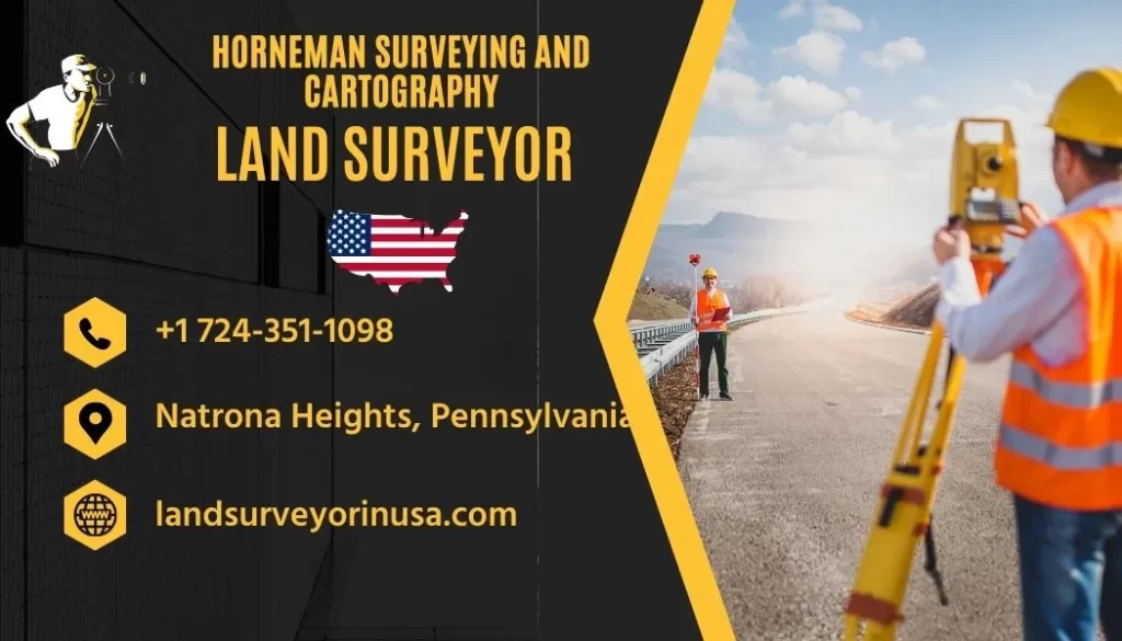
Horneman Surveying and Cartography, located in Natrona Heights, Pennsylvania, offers professional land surveying services. As a licensed Land Surveyor in Allegheny, Pennsylvania, they provide comprehensive surveyor services. Their expertise in the field ensures accuracy and detailed attention to every project, making them a trusted choice for those in need.
Contact Information for Horneman Surveying and Cartography
For professional surveying needs, Horneman Surveying and Cartography provides exceptional service. Reach out via their website, view their location on maps, or check customer reviews. Their contact information ensures easy communication and reliable support.
Horneman Surveying and Cartography
Land Surveyor in Allegheny, Pennsylvania, UNITED STATES
- 📍 Address: 1110 Dallas Ave, Natrona Heights, PA 15065, United States
- 🕗 Hours: Tuesday, 6 AM to 10 PM; Wednesday, 6 AM to 10 PM; Thursday, 6 AM to 10 PM; Friday, 6 AM to 10 PM; Saturday, 6 AM to 10 PM; Sunday, 6 AM to 10 PM; Monday, 6 AM to 10 PM
About Horneman Surveying and Cartography
Located in the serene community of Natrona Heights, Pennsylvania, Horneman Surveying and Cartography stands as a beacon of precision and reliability. As a seasoned Land Surveyor in Allegheny, Pennsylvania, this establishment offers a comprehensive range of surveying and cartography services tailored to meet the diverse needs of its client base. From small residential projects to large-scale commercial developments, Horneman Surveying and Cartography brings expertise and attention to detail to each endeavor.
Services Offered
Horneman Surveying and Cartography is proficient in a variety of services that facilitate construction, legal disputes, land development, and resource management. Their specialties include boundary surveys, topographic mapping, site planning, and construction staking. Equipped with state-of-the-art technology and a wealth of experience, their team ensures that accurate and reliable data is provided to clients for informed decision-making.
Contact and Accessibility
For anyone looking to avail themselves of quality surveying services, Horneman Surveying and Cartography is readily accessible. Based out of their office located at 1110 Dallas Ave, clients can visit the location during the comprehensive business hours which run from Tuesday to Monday, 6 AM to 10 PM. Whether it's an early morning consultation or an evening discussion, the firm accommodates the schedules of its clients.
Client Support and Engagement
The professionals at Horneman Surveying and Cartography understand that client support is paramount. That's why they prioritize clear communication and dedicated support to answer any queries or concerns. By calling their phone number +1 724-351-1098, potential and existing clients can connect with a representative who will be more than happy to assist with their surveying needs.
Website and Online Resources
To facilitate easy access to information and services, Horneman Surveying and Cartography maintains an informative website at https://landsurveyorinusa.com/. This online platform serves as a resource for clients to explore the range of services, understand the importance of accurate surveying, and keep abreast of the latest developments in the industry.
Commitment to Quality and Accuracy
The cornerstone of Horneman Surveying and Cartography is their unwavering commitment to delivering high-quality results. They understand that the accuracy of their work has far-reaching implications, not just for the immediate project but also for future planning and development. Consequently, they continuously train and update their methodologies to align with the highest industry standards.
FAQs
- What areas do Horneman Surveying and Cartography serve?
Horneman Surveying and Cartography primarily serves clients in Natrona Heights and the greater Allegheny County area. - Can I schedule an appointment outside of business hours?
It is recommended to adhere to the stated business hours, but special appointments can be arranged by contacting the office directly. - What type of surveying services do Horneman Surveying and Cartography offer?
They offer a variety of services including boundary surveys, topographical surveys, land development planning, and construction staking. - Is Horneman Surveying and Cartography licensed and insured?
Yes, they are a licensed and insured professional land surveying firm. - How can I get a quote for my surveying project?
You may contact Horneman Surveying and Cartography by phone or visit their website to request a quote. - How long does it take to complete a survey?
The duration of a survey can vary depending on the scope and complexity of the project. It's best to consult directly for an estimated timeframe. - Can Horneman Surveying and Cartography help with legal property disputes?
Yes, they can assist in providing accurate survey data that can be utilized in legal settings for property disputes. - Does Horneman Surveying and Cartography use modern technology for their surveys?
They employ the latest surveying technology to ensure accurate and efficient results. - Are walk-ins welcome or do I need an appointment?
While walk-ins may be accommodated, it is advisable to schedule an appointment to ensure prompt service. - What is the best way to contact Horneman Surveying and Cartography?
The best way to contact them is by calling their phone number or through the contact form on their website.
Leave a Reply